Drone Data Processing and Mapping Survey Services
At UAV Developments, we transform ground and drone captured data into accurate, actionable deliverables for surveying, inspection, and commercial applications. Using advanced processing workflows and geo-spatially correct outputs, we provide reliable datasets suitable for engineering, construction, infrastructure, and asset management projects.
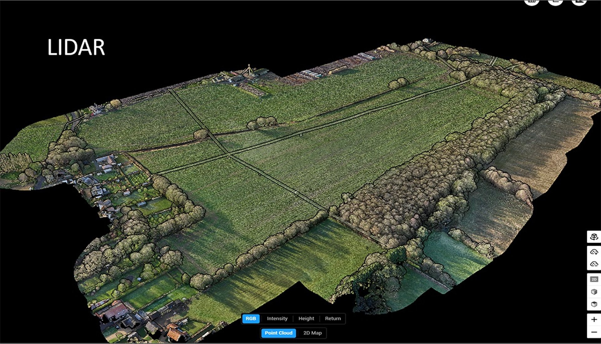
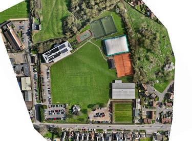
Land Mapping & Survey Deliverables
Our mapping and survey services include:
Land mapping and site modelling
Ground control integration for enhanced positional accuracy
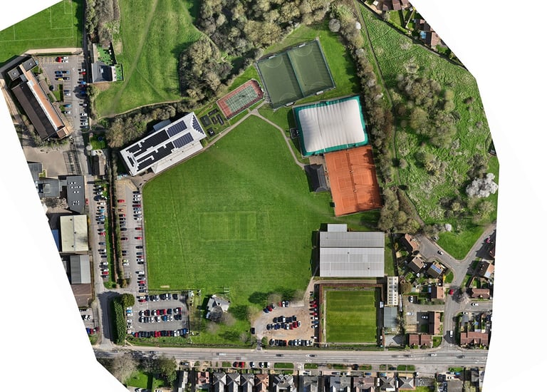
Geo-spatially correct orthomosaic imagery
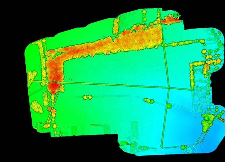
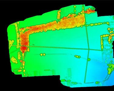
Geo-spatially correct Digital Surface Models (DSM)
Detailed linework extraction
Accurate contour line generation
High-density point cloud outputs
Ground surveying support and data integration
All outputs are produced to professional standards, ready for CAD, GIS, and engineering workflows.
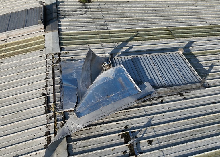
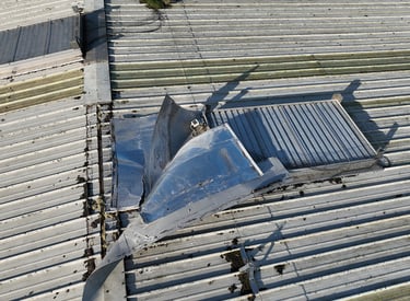
Roof Inspection & Asset Surveys
We provide detailed roof and asset inspection surveys using high-resolution drone capture and advanced processing techniques.
High-resolution orthomosaic imagery
Outputs up to 1cm GSD (Ground Sample Distance)
Clear, measurable datasets suitable for condition assessment and reporting
Our data processing services ensure precision, clarity, and reliability — delivering the insight you need to make informed decisions.
Our Services
Showcasing our expertise.
Topography
Precise digital elevation models and orthomosaics for construction and planning.
RGB Imagery
High definition aerial photos for marketing and surveys.

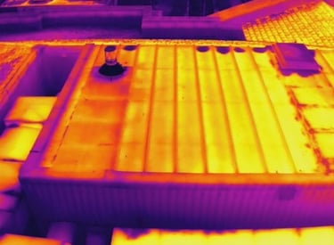


Thermal
Detecting heat signatures for health and safety checks.
Ground Surveying
The traditional method of accurate data collection.
→
→
→
→
Get in Touch
Questions about drones, services, or training? We're here to help you take flight.
Phone
01787 319 999
info@uavdevelopments.co.uk
Contact
Newsletter
info@uavdevelopments.co.uk
01787 319 999
© 2024. All rights reserved.
info